
DESTINATION · VIETNAM
Hạ Long Bay.
Hạ Long Bay is shaped by vegetated limestone islands and pillars rising from the sea. The forms of the rock, caves, and eroded shorelines tell a long story of marine water entering a tropical karst landscape.
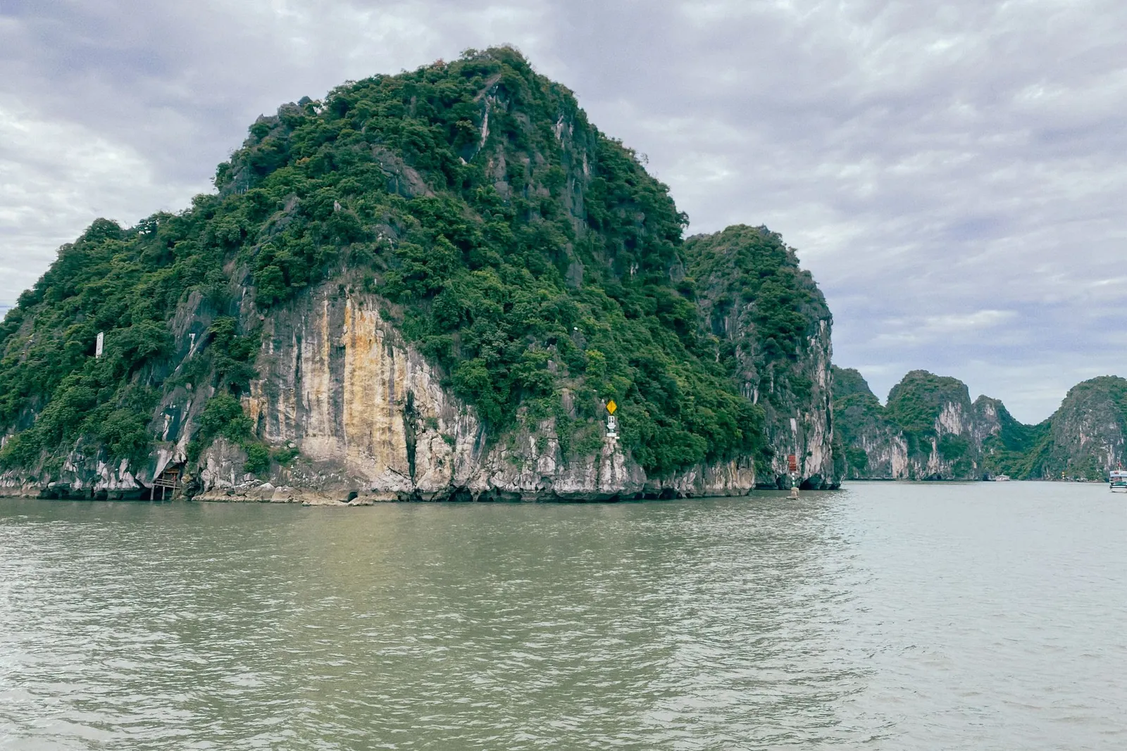
HẠ LONG BAY · QUẢNG NINH
A landscape shaped over time
UNESCO inscribed Ha Long Bay as a World Heritage site in 1994 and recognized its geological and geomorphological value in 2000. In 2023, the property’s boundaries were modified to include Cat Ba Archipelago; the expanded property lies in Quảng Ninh Province and Hai Phong City.
Places such as Ti Tốp Island, Luồn Cave, and Sửng Sốt Cave reveal different sides of the bay’s landscape. All three appear in the heritage authority’s visitor information for Route 2. Route 2 is a visitor route, not a destination of its own.
UNESCO is the source for the geological description and heritage inscription. The heritage authority’s visitor route information connects the places below.
A VIEW FROM ABOVE
The bay from above
An aerial view of Hạ Long Bay filmed by the contributor.